Wayfinding Plan
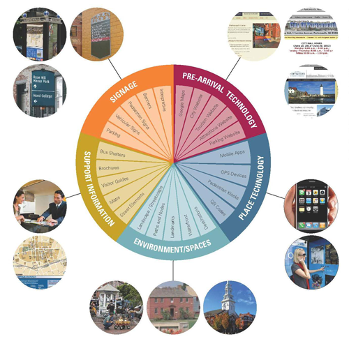 Wayfinding is a broad term used to describe the different ways that people orient themselves in a physical setting and navigate from place to place. When used in the context of a particular community, wayfinding systems may include a variety of tools (both physical and virtual) that provide a predictable and consistent way for people to find their way around. Primary objectives of community wayfinding systems include:
- Establishing a shared sense of place within the community.
- Orienting vehicular, pedestrian, and bicycle traffic with a system that is both logical and intuitive.
- Increasing accessibility to key destinations and frequently used areas within the community.
The first phase of the City's new wayfinding program has been completed. The goal of this phase of the project was to develop a dependable and standardized wayfinding plan that identifies appropriate wayfinding types, messaging, locations, and uniform design. The City is working with MERJE, a consulting firm with extensive community wayfinding experience. We are now beginning a phased implementation of the wayfinding program. First priorities for implementation include fabrication and installation of consistent and visible parking signs and directionals, interior and exterior enhancements to the parking garage, and development of mobile-friendly (internet and smartphone) wayfinding components.
- Introductory Public Meeting (February 13, 2013)
- Public Meeting (April 24, 2013) -- Preliminary recommendations and draft sign design concepts
- First Draft Schematic Wayfinding Sign Design Concepts (April 2013)
- City Council Project Update (October 21, 2013) -- Presentation of final sign design concept and identification of Phase 2 priorities
- Wayfinding Analysis Report (April 2014)
- Design Menu and Specifications (March 2014)
- Preliminary Location Plan (March 2014)
- Second Phase of City Wayfinding Program Underway (August 2015)
- Second Phase of City Wayfinding Program Continues (December 2015)
- City's Wayfinding Program to Continue this Spring (January 2016)
- Phase 3 of City’s Wayfinding Program Resumes (March 2020)